Today, I'd like to post some photos of the first hike that I did here in Antarctica. On October 19, some friends and I walked the 2.7-mile Ob Hill Loop Trail, which encircles Observation Hill. Prior to hiking off station, I was required to attend the Outdoor Safety Lecture. This lecture presents a number of safety issues that all hikers are to be aware of, and some of these issues are specific to Antarctica. Before hiking most of the trails, hikers must check out with the fire department and carry a radio in the event of emergency. Hikers are also given a time by which they must either check back in at the firehouse or radio the fire dispatcher to request an extension of time. If no contact is received by the designated time, the search-and-rescue team is immediately dispatched to locate the missing people.
One of the biggest potential hazards hiking in Antarctica is the risk of falling through crevasses in the ice sheets or glaciers. The Ob Hill Loop Trail is on rocky ground, so this was not an issue here, but several of the other trails, including the Castle Rock Trail which I hiked last week, are almost entirely on a glacier or ice sheet. Like water, ice moves downhill, albeit quite a bit more slowly. This movement creates large cracks in the ice and snow will fill them in, often times making them invisible. If a person steps into one of these cracks, he or she can fall as far as a couple hundred feet. In past years, people have died from falling into crevasses because they wandered off the trail. For this reason, all routes are marked with trail markers, and those that go over ice are clearly flagged. (On my
November 16 post, "Happy Camper", there is a picture of the cracks in the ice sheet on Ross Island.)
Other issues discussed included dressing in layers, packing plenty of food and water, and what to do in the event that frostbite or hypothermia starts to set in. Although I've not done much winter hiking, most of the safety issues were familiar to me from my adventures in the deserts of California and the mountains of Colorado. I went to the lecture shortly after arriving in Antarctica, but I waited a couple of months to do a hike until the sun had risen and the temperatures had warmed up a lot. :)
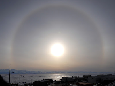 |
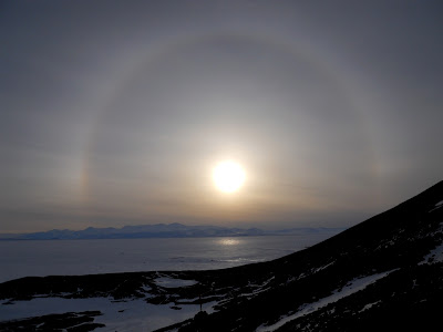
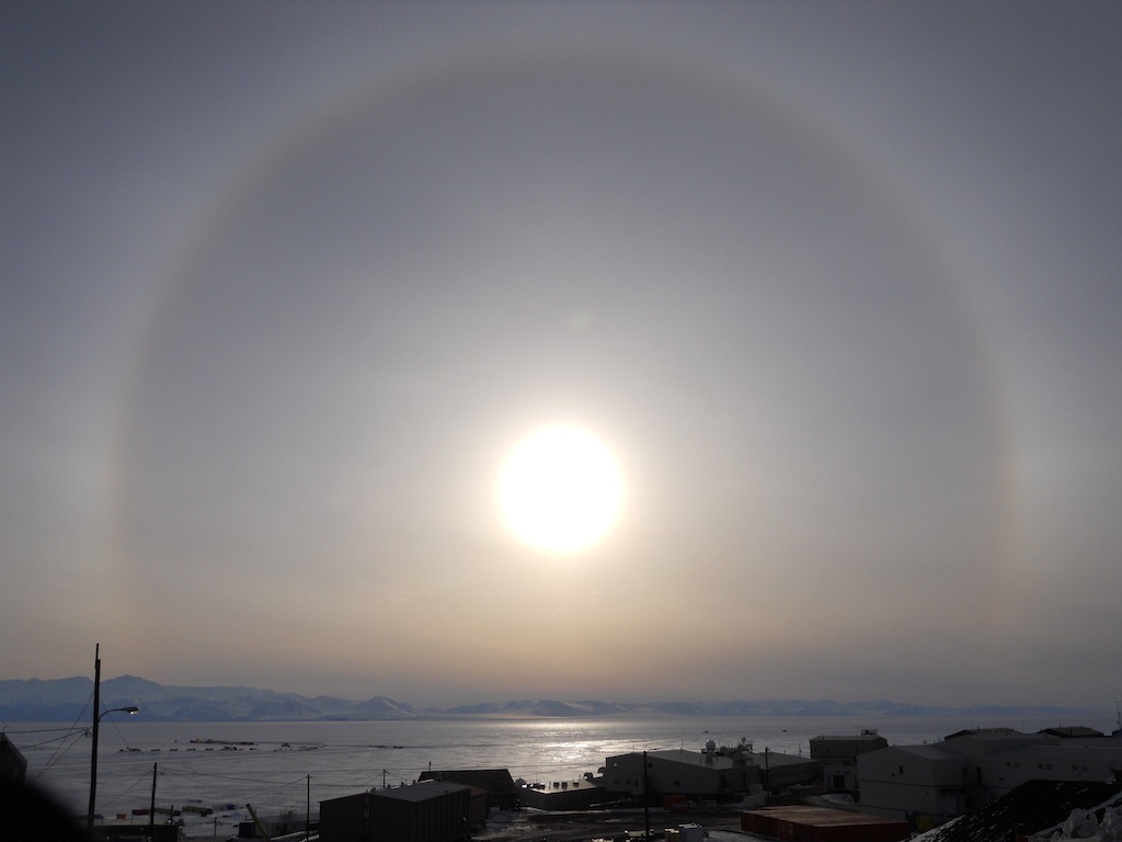
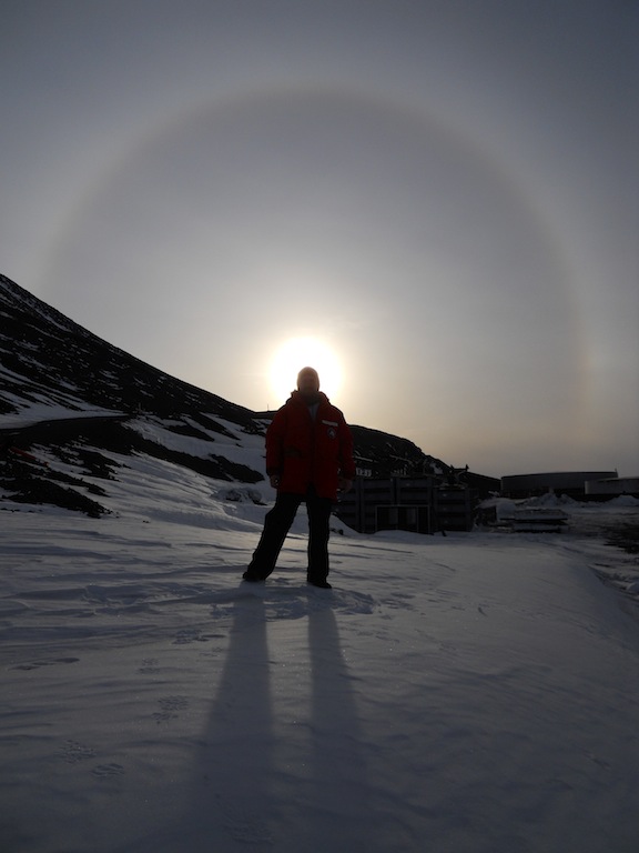
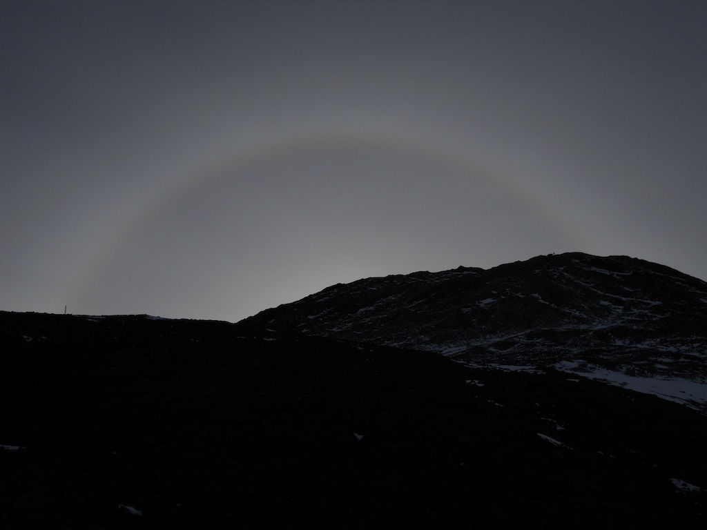
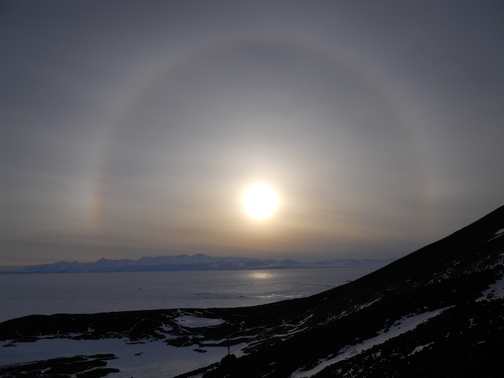
| The evening of the hike, there was a sun dog which completely encircled the sun. |
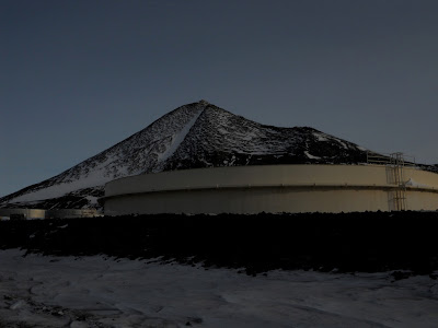 |
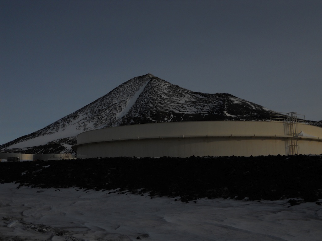
| A view of Ob Hill at the beginning of the hike. The structure in front is a fuel container for McMurdo Station. |
 |
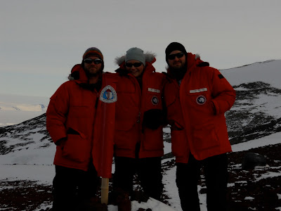
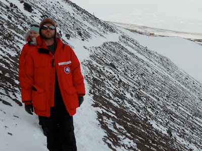
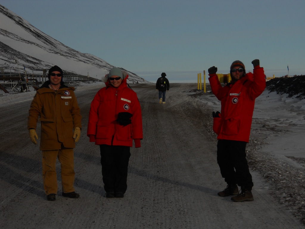
| My companions on the hike! L-R: Bryan, Emily, and Deke. I have no idea who the guy in the back is. :) |
 |
| Me in front of the sun dog. Spectacular! :) |
 |
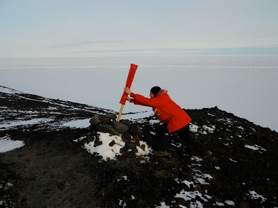
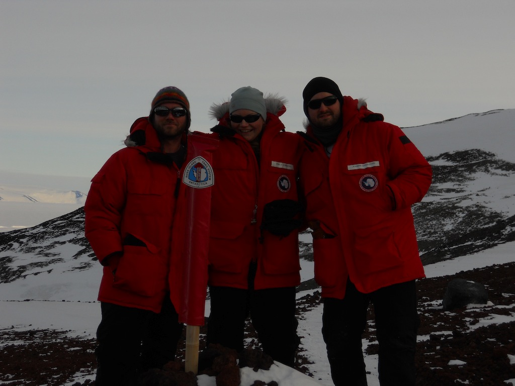
| Deke, Emily, and me at the first trail marker. |
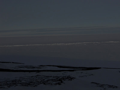 |
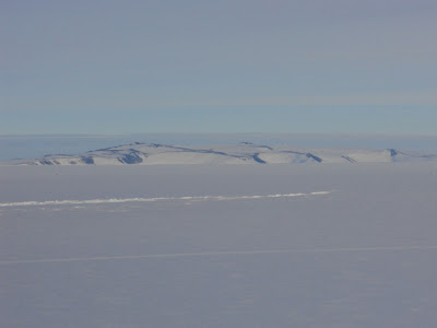
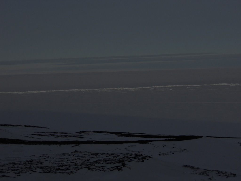
| The Ross Ice Shelf south of Ross Island. The line that cuts across it is the Pressure Ridges, which are essentially "fault lines" in the ice created as the ice shelf collides with the sea ice. |
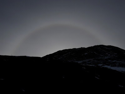 |
| The sun dog behind Ob Hill. |
 |
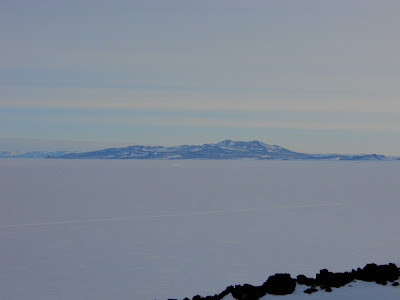
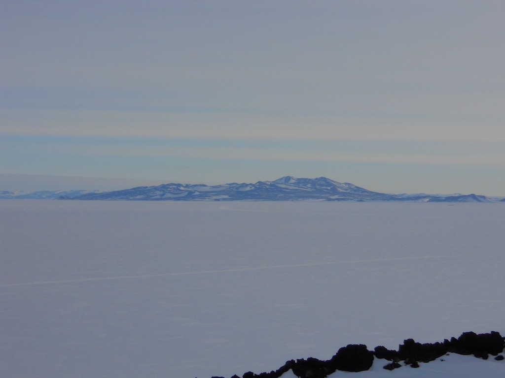
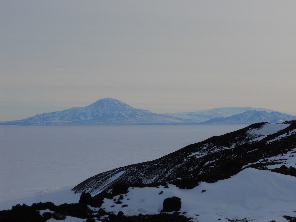
| Mt. Terror, the easternmost dormant volcano on Ross Island, in the distance. |
 |
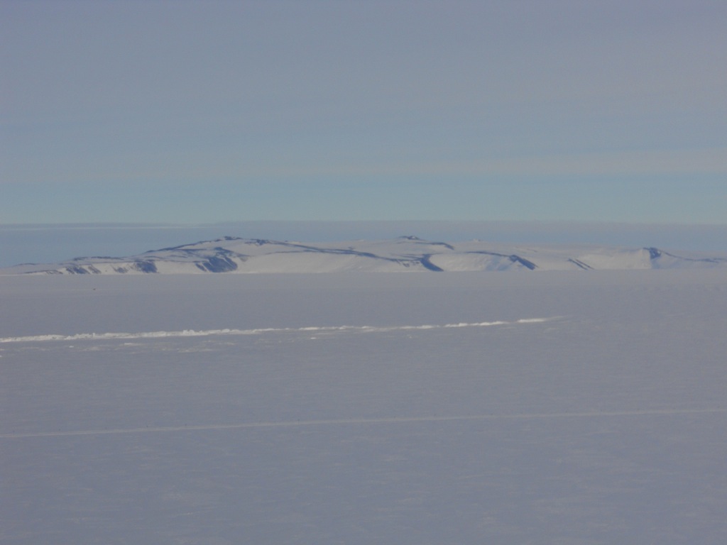
| White Island, south of Ross Island, behind the Pressure Ridges. |
 |
| Black Island, just west of White Island. I'm not sure why one of these islands is covered in ice and the other isn't, but they do make a great pair. :) |
 |
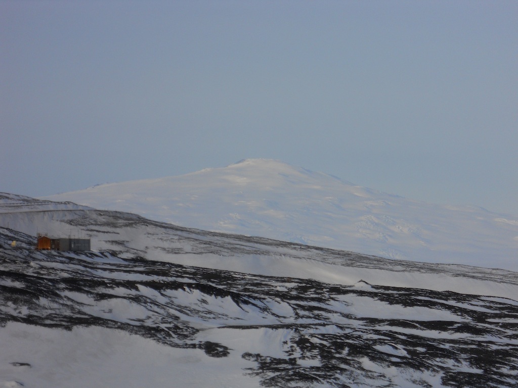
| Mt. Discovery and Brown Pennisula to its right in the middleground. Behind the peninsula lie the Transantarctic Mountains. |
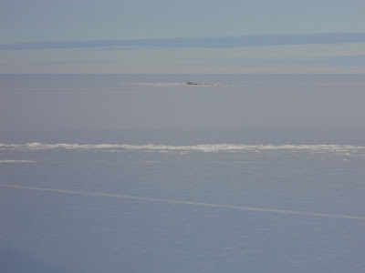 |
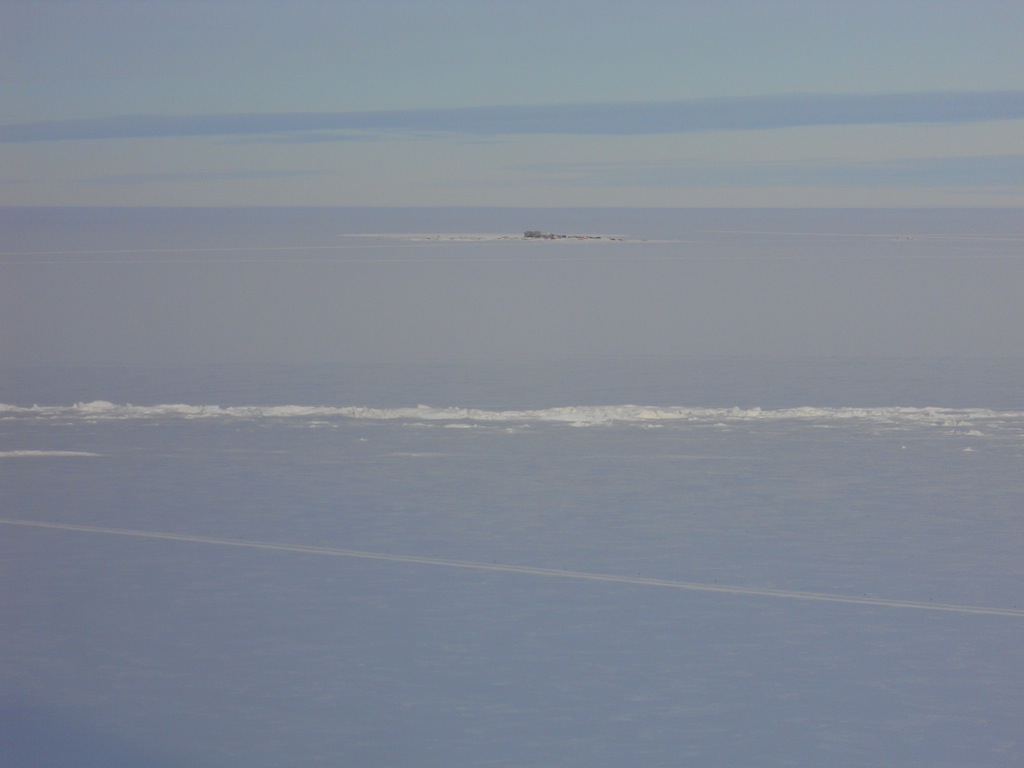
| Another view of the Pressure Ridges with the LDB site in the background. |
 |
| Frost has accumulated on Deke's moustache. |
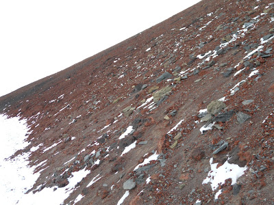 |
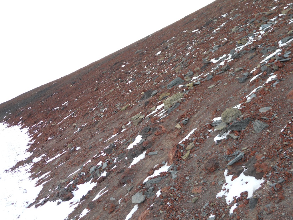
| The side of Ob Hill was made up of a lot of loose rock and scree. Fortunately, we mostly walked across it rather than up or down it. |
 |
| Emily and Deke on a more treacherous part of the trail. |
 |
| The sun overlooking the sea ice |
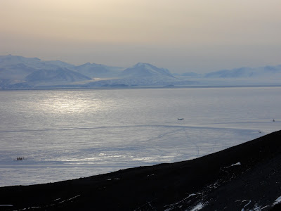 |
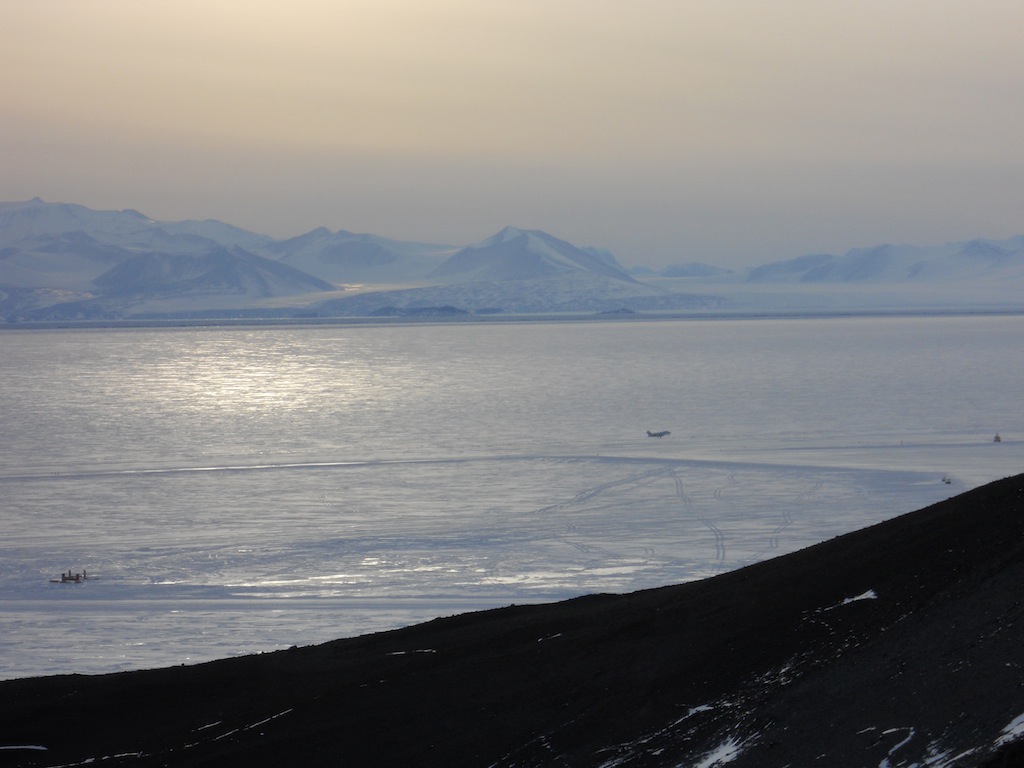
| While we hiked, we saw a plane land on the sea ice runway. |
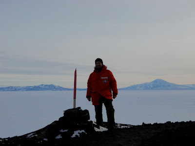 |
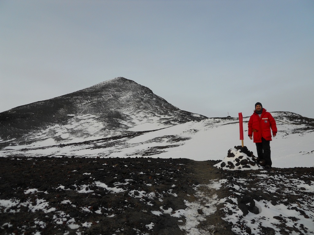
| Me at one of the trail markers. |
 |
| See the great explorer Joseph marking new territories on his great adventures!! (We got a bit silly at times.) :) |
 |
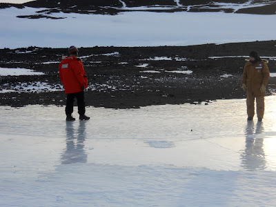
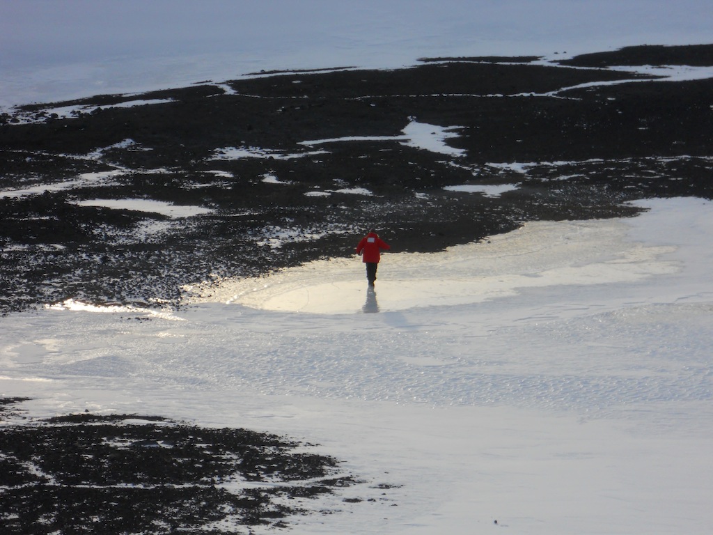
| We stumbled upon a pool of smooth, shiny ice! This suggests that there might be a small pond of actual water here during the summer months. |
 |
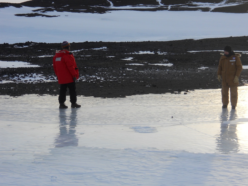
| Deke and Bryan slip and slide on the ice. |
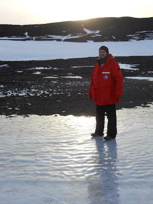 |
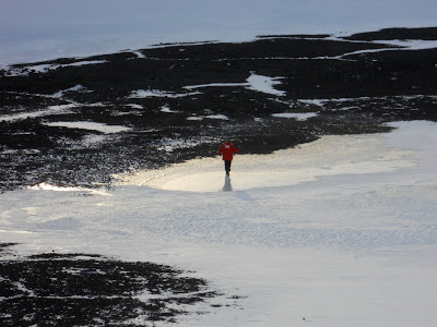
| Here I am, treading carefully so as not to fall. |
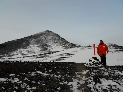 |
| Another trail marker with Ob Hill in the background. |
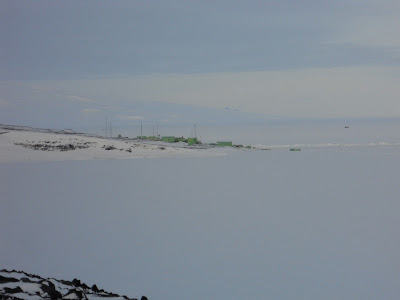 |
| The trail took us in clear view of the New Zealand station, Scott Base. Legend has it that someone decided that since New Zealand is a green country dotted with lots of white sheep, Scott Base should be green buildings dotting a white landscape. |
 |
| Another view of Ob Hill with lots of different colored rocks. |
 |
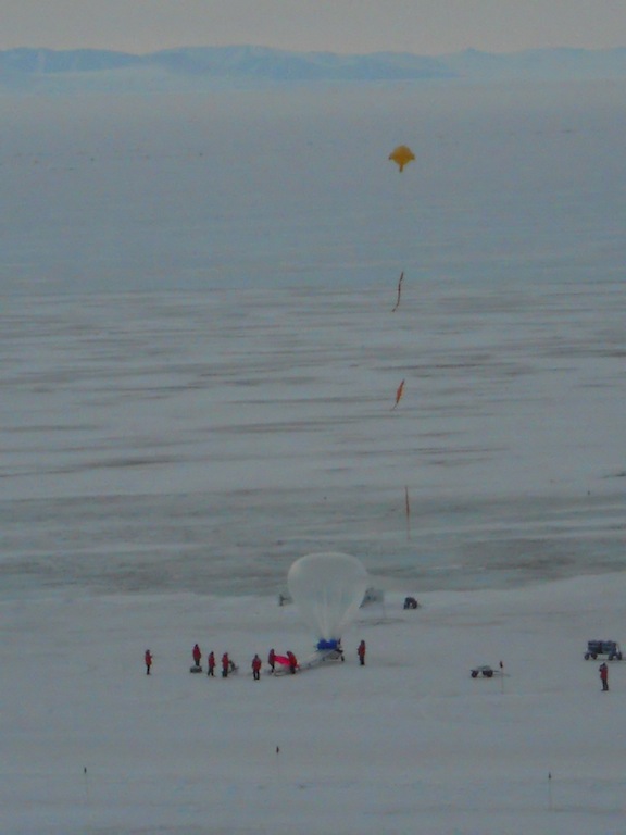
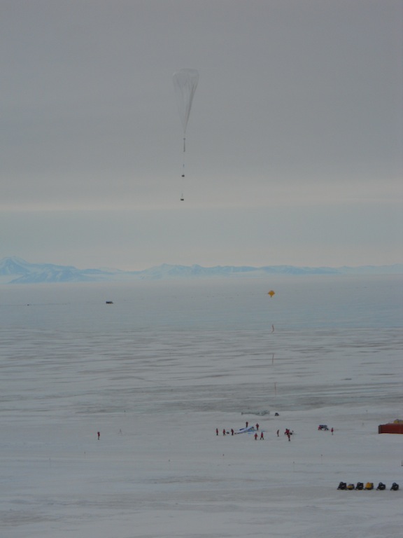
| As we came around Ob Hill back towards McMurdo Station, we saw a group of scientists preparing to launch a weather balloon! |
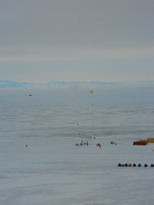 |
| Up... |
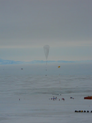 |
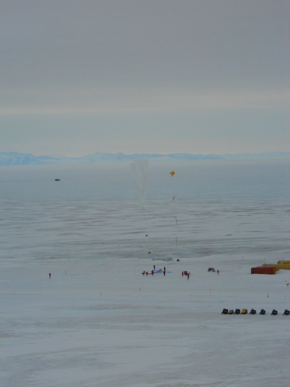
| ...up... |
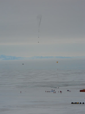 |
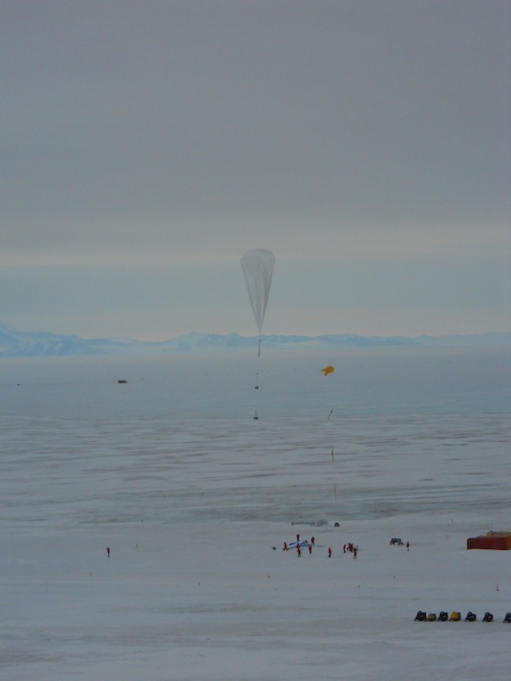
| ...and away! |
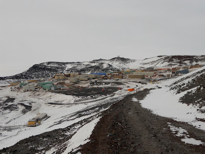 |
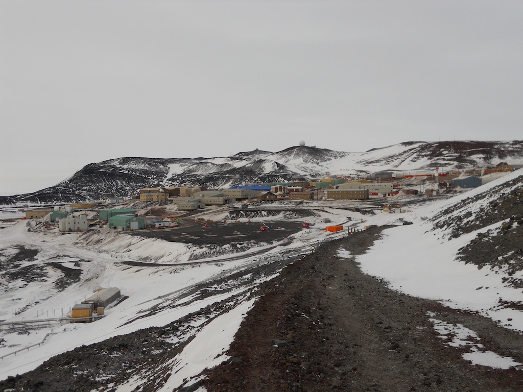
| A view of McMurdo Station at the end of the hike. There is a rectangular orange structure to the right of the helicopters; I live in the brown building directly above that orange structure. |
In the upcoming weeks, I'll be posting pictures from the Castle Rock Trail and other hikes around station. May everyone have a Merry Christmas!


No comments:
Post a Comment